
About Emil von Sydow
Lived 1812 – 1873 (aged 61). Emil von Sydow was a German and Swedish cartographer, geographer, career soldier, colonel and military officer.
Emil von Sydow (15 July 1812 – 13 October 1873) was a German military officer, geographer and cartographer born in Freiberg, Saxony.
Prior to 1843, he was a geography instructor at the military academy in Erfurt, afterwards being appointed as a member of the Ober- Militär-Examinationscommission in Berlin. In 1849, he began giving instruction in geography to Prince Albert of Prussia (1837–1906), and soon afterwards gave lectures on military geography at the Allgemeinen Kriegsschule. From 1855 to 1860, he performed geographical and cartological duties in Gotha, then returned to Berlin, where in 1867 he was appointed Abtheilungschef (division chief) to the Prussian General Staff. In 1870, he attained the rank of Colonel, and died three years later in Berlin due to cholera.
He is considered to be the founder of methodical school cartography, and distinguished himself by creating his own wall maps for classroom instruction. In 1838 he produced a physical map of Asia in his "Schulmethodischer Wand Atlas" (Methodic Wall Atlas for Schools) that was soon followed by maps of other continents. On these maps, Sydow developed a color methodology for landscape features using hachures, where green was depicted for lowlands and brown used for highlands. Wilhelm Perthes (1793–1853) of the publishing firm "Justus Perthes Geographische Anstalt Gotha" was impressed with Sydow's work and in 1849 produced the latter's "Schulatlas in sechsunddreigig Karten" (Schoolatlas in 36 maps), a work that eventually ran to 39 editions by 1887. The Drei Karten-Klippen generalized the knowledge of the projection of the surface of the sphere on the map, the representation of the three-dimensional Earth's surface on the two-dimensional paper and the selection and generalization of the map objects, basic questions that made Sydow pioneering.
After von Sydow's death, Hermann Wagner (1840-1929), a geography professor at Göttingen, designed the "Sydow-Wagner Methodischer Schulatlas" (Sydow-Wagner Methodical School Atlas) with 60 major and 50 inset maps.
Don’t just read it —
keep it.
Full-length biographies made to live with: read them, listen on the way to work, watch them tonight.
- E-book
- Audio
- Video
Instant download · yours to keep · every purchase keeps this site free
Important facts
People in Emil von Sydow's life
Named in this biography and alive at the same time

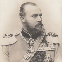
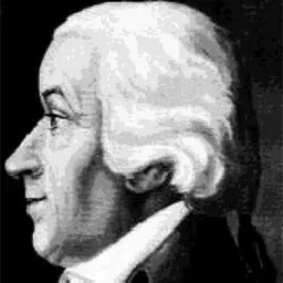
Related people
Same field, nearest in time

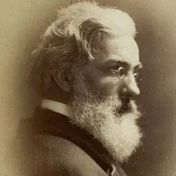
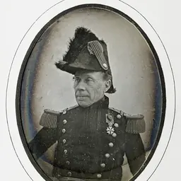

Contemporaries
People whose lives overlapped Emil von Sydow's

Frequently asked questions
Who was Emil von Sydow?
German geographer (1812–1873)
When was Emil von Sydow born?
Emil von Sydow was born on 15 July 1812 in Freiberg.
When did Emil von Sydow die?
Emil von Sydow died on 13 October 1873 in Berlin.
What was Emil von Sydow's occupation?
Emil von Sydow was a cartographer, geographer, career soldier, colonel and military officer.
What nationality was Emil von Sydow?
Emil von Sydow was German and Swedish.
Sources & further reading
Cite this page
APA: Biography.guide. (2026). Emil von Sydow. https://biography.guide/emil-von-sydow/
MLA: "Emil von Sydow." Biography.guide, https://biography.guide/emil-von-sydow/.
Chicago: "Emil von Sydow." Biography.guide. https://biography.guide/emil-von-sydow/.
Data last updated: 2026-09-20 · Spot an error? Report a correction.
Page generated 2026-09-27 05:25 UTC