
About Henry Schenck Tanner
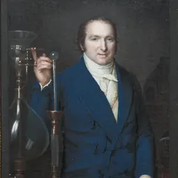
Lived 1786 – 1858 (aged 71–72). Henry Schenck Tanner was an American cartographer, copper engraver and graphic artist.
Part of Tanner's 1822 map of North America, depicting the Pacific coast with fictive rivers that were assumed to exist at that time.
Henry Schenck Tanner (c. 1786–1858), was an American cartographer, born in New York City.
He produced A Geographical and Statistical Account of the Epidemic Cholera from its Commencement in India to its Entrance into the United States in 1832 in response to the worldwide cholera epidemic of 1817.
Tanner wished to provide a geographic account of the spread of the disease, stating that other statistics concerning the epidemic were "given in such a loose and unconnected manner as to render a reference to them at once irksome and unprofitable." His publication included global, national and local maps, data tables showing number of deaths in different localities by country, and detailed maps of the United States and New York City with small red dots indicating points where the disease had broken out.
Tanner and his colleague John Vallance engraved the maps of the United States that were produced between 1816 and 1823 by geographer John Melish in Philadelphia and that were among the first widely spread US maps to include the West Coast territories then belonging to Mexico. Based on the southwestern corner of this US map, Tanner himself produced a map of Mexico in 1822, which was accepted by the Mexican Congress in 1826 and translated to Spanish by 1828. In 1846 Tanner had this map reprinted in a Second and Third Edition. This became the basis for the map of Mexico by John Disturnell in 1847, used in the boundary negotiations of the U.S. and Mexico following the Mexican–American War. Tanner's map contained some errors, reproduced by Disturnell.
Tanner engraved more maps of the United States on the county- and state-level in the 1820s and 1830s (among these, maps of Washington D.C., New Jersey, Pennsylvania, Missouri, Connecticut, New York, North and South Carolina, Florida and Tennessee). He also published An atlas of ancient geography in 1826, containing 16 maps of Egypt, Greece, Holy Land and the Roman Empire in ancient times.
For Stephen F. Austin, Tanner engraved and published a map of Texas in 1830 which was widely distributed. Modified several times, the Austin-Tanner map was kept up to date during the time of the Republic of Texas. Some other maps Tanner produced by 1840 were small-scale continental maps, covering for example the continents of Africa, Asia, Europe, South America, or the Pacific.
In 1846, Tanner published A New Universal Atlas.
Don’t just read it —
keep it.
Full-length biographies made to live with: read them, listen on the way to work, watch them tonight.
- E-book
- Audio
- Video
Instant download · yours to keep · every purchase keeps this site free
Important facts
People in Henry Schenck Tanner's life
Named in this biography and alive at the same time

Related people
Same field, nearest in time
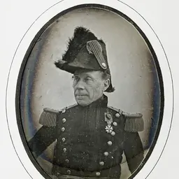
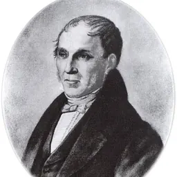
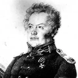

Contemporaries
People whose lives overlapped Henry Schenck Tanner's
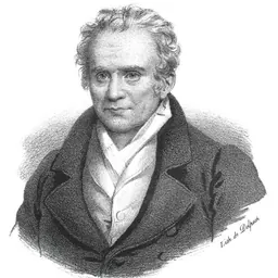

Frequently asked questions
Who was Henry Schenck Tanner?
American cartographer (1786–1858)
When was Henry Schenck Tanner born?
Henry Schenck Tanner was born in 1786 in New York City.
When did Henry Schenck Tanner die?
Henry Schenck Tanner died in 1858 in New York City.
What was Henry Schenck Tanner's occupation?
Henry Schenck Tanner was a cartographer, copper engraver and graphic artist.
What nationality was Henry Schenck Tanner?
Henry Schenck Tanner was American.
Sources & further reading
· Wikipedia: Henry Schenck Tanner
· DBpedia: Henry Schenck Tanner
Cite this page
APA: Biography.guide. (2026). Henry Schenck Tanner. https://biography.guide/henry-schenck-tanner/
MLA: "Henry Schenck Tanner." Biography.guide, https://biography.guide/henry-schenck-tanner/.
Chicago: "Henry Schenck Tanner." Biography.guide. https://biography.guide/henry-schenck-tanner/.
Data last updated: 2026-09-20 · Spot an error? Report a correction.
Page generated 2026-09-27 05:13 UTC