
About Alonso Álvarez de Pineda
Lived 1494 – 1520 (aged 25–26). Alonso Álvarez de Pineda was a Spanish explorer and cartographer.
Alonso Álvarez de Pineda (; 1494–1520) was a Spanish conquistador and cartographer who was the first to prove the insularity of the Gulf of Mexico by sailing around its coast. In doing so he created the first map to depict what is now Texas and parts of the Gulf Coast of the United States.
Life Born in Aldeacentenera, Spain, in 1494, he led several expeditions in 1519 to map the westernmost coastlines of the Gulf of Mexico, from the Yucatán Peninsula to the Pánuco River, and also explored parts of Florida, which at the time was believed to be an island. Antón de Alaminos' explorations had eliminated the western areas as being the site of the passage, leaving the land between the Pánuco River and Florida to be mapped. An expedition was organized to chart the remainder of the Gulf. Francisco de Garay, Governor of the Colony of Santiago, outfitted three ships with two hundred and seventy soldiers and placed them under the command of Álvarez de Pineda, Cortés returned on hearing of Álvarez de Pineda's arrival. Álvarez de Pineda wished to establish a boundary between the lands he was claiming for Garay and those that Cortés had already claimed; Cortés was unwilling to bargain, and Álvarez de Pineda left to retrace his route northward.
Shortly thereafter, he sailed up a river he named Las Palmas, where he spent over 40 days repairing his ships. The Las Palmas was most likely the Pánuco River near present-day Tampico, Tamaulipas, Mexico. Álvarez de Pineda was subsequently killed in a battle with the native Huastec people at the Pánuco River. Garay later sent two expeditions under Diego Camargo and Miguel Díez de Aux to find him, but they were unsuccessful, finding only his burned ships. Pineda's map did make it back to Governor Garay.
The expedition established the remainder of the boundaries of the Gulf of Mexico while disproving the idea of a sea passage to Asia. It also verified that Florida was a peninsula instead of an island. Álvarez de Pineda became the first European to see the coastal areas of what is now western Florida, Alabama, Mississippi, Louisiana, and Texas, lands he called "Amichel". His map is the first known document of Texas history and was the first map of the Gulf Coast region of the United States. It is stored at the Archivo General de Indias in Sevilla (Spain).
Footnotes
Don’t just read it —
keep it.
Full-length biographies made to live with: read them, listen on the way to work, watch them tonight.
- E-book
- Audio
- Video
Instant download · yours to keep · every purchase keeps this site free
Important facts
People in Alonso Álvarez de Pineda's life
Named in this biography and alive at the same time
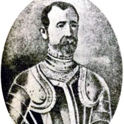
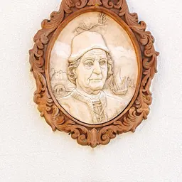


Related people
Same field, nearest in time
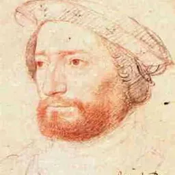


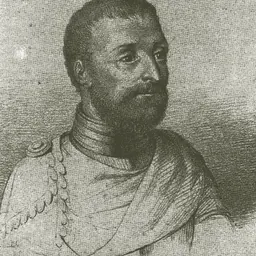
Contemporaries
People whose lives overlapped Alonso Álvarez de Pineda's



Frequently asked questions
Who was Alonso Álvarez de Pineda?
Spanish explorer and cartographer
When was Alonso Álvarez de Pineda born?
Alonso Álvarez de Pineda was born in 1494 in Aldeacentenera.
When did Alonso Álvarez de Pineda die?
Alonso Álvarez de Pineda died in 1520 in Mexico.
What was Alonso Álvarez de Pineda's occupation?
Alonso Álvarez de Pineda was an explorer and cartographer.
What nationality was Alonso Álvarez de Pineda?
Alonso Álvarez de Pineda was Spanish.
Sources & further reading
· Wikipedia: Alonso Álvarez de Pineda
· DBpedia: Alonso Álvarez de Pineda
Cite this page
APA: Biography.guide. (2026). Alonso Álvarez de Pineda. https://biography.guide/alonso-alvarez-de-pineda/
MLA: "Alonso Álvarez de Pineda." Biography.guide, https://biography.guide/alonso-alvarez-de-pineda/.
Chicago: "Alonso Álvarez de Pineda." Biography.guide. https://biography.guide/alonso-alvarez-de-pineda/.
Data last updated: 2026-09-20 · Spot an error? Report a correction.
Page generated 2026-09-27 04:59 UTC